The Thames Tree Map
Botany
Tracey Bush The Thames Tree Map
In 2021, Tracey Bush was commissioned by British Land to create an artwork to celebrate the Canada Water Masterplan which is a partnership between British Land, Southwark Council and the local community to create an outstanding new town centre for Southwark and London that complements the local area, making an active, positive, long-term contribution to local life.
The Artist, Tracey Bush has investigated the histories of London, highlighting the River Thames through prints and book works. Tracey grew up living on a boat on the River Thames in London, which underpins her fascination with the River.
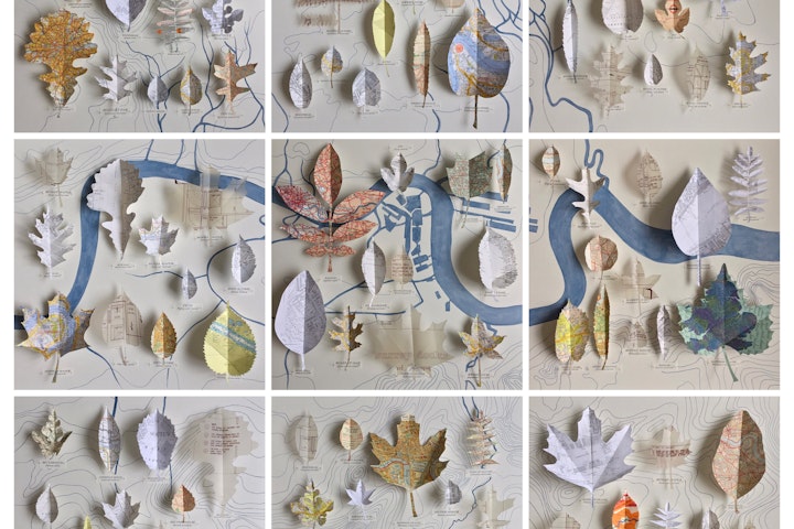
There are 34 different species of tree represented in the 106 leaves in the 9 panels of ‘The Thames Tree Map’. Some of the trees represent the heritage of the area when Rotherhithe contained the timber docks such as Bur Oak, American Beech, Red Alder and Birch. The proposed development will include a Heritage Walk, along which will be planted trees that reflect their uses in paper making and timber with species such as Paper Birch, Pin Oak and the Tulip Tree. Other trees that will enhance the area include domestic scale trees such as the Fig, Pear, and Wild Cherry.
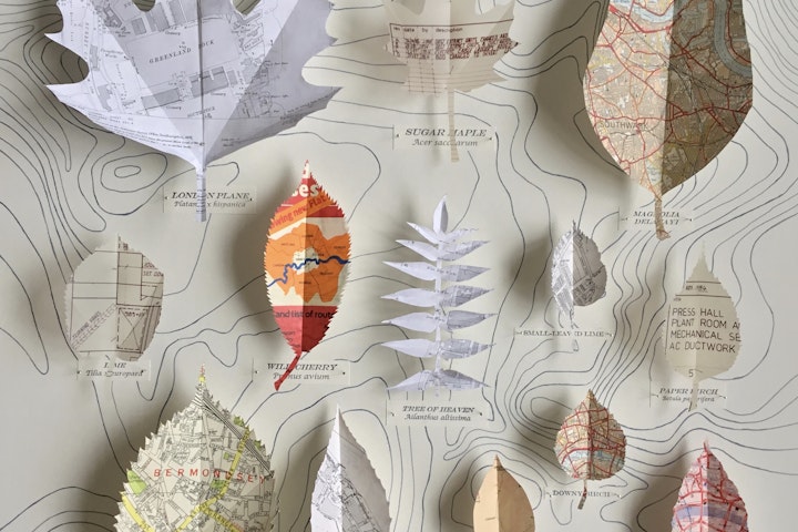
The 106 leaf specimens have been handcut to actual size from an eclectic mix of paper maps, charts, and plans. Notable amongst these are an Admiralty Chart of the River Thames from Margaret ness to Tower Bridge (2017), and a Philip’s ABC Pocket Atlas Guide to London c.1920’s. The Norway Maple and Paper Birch are amongst other ghostly shapes cut from the browned tracing paper of original plans for the 1987 Surrey Docks development.
Each leaf connects the history and future of this historic area. The specimen leaves are pinned with entomology pins over a hand drawn map of the contours of London and the Thames. The sinuous lines of the ancient watercourses and geological contours of the Thames emphasize the organic and dynamic aspect of London.
The central section of the 9 panels depicts the waters of the Surrey Docks; Lady Dock, Lavender and Acorn Ponds, which were famous for the vast rafts of timber that hid so much of their surface. The pinned leaves hide much of the map of London, layering cut vintage maps, atlases, charts and plans over the distant geological history of the area.

